Location: Map
Area: 10,000 km²
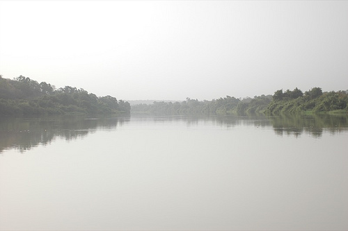
W National Park that is shared between Benin, Niger and Burkina Faso. W National Park gets its name from a river Niger that runs through protected reserve. Its shape here looks like letter "W", thus it gets the name. It cover an are of 10,000 km² of wetlands, forests and open savannah. It is inhabited by elephants, warthogs, baboons, caracals, cheetahs, hippopotamuses as well as violent carnivore cats like lions and leopards.
Ever since the Neolithic people lived in the Niger basin in the
reserve. A large number of archaeological artifacts are found here.
Currently, the main problems of the territory are the irrational
and illegal use of resources, in particular illegal fishing,
transfer of land for agricultural purposes (including cotton
fields). Local residents are included in the reserve management,
which allows us to search for a sustainable development strategy.
Various research projects are working in the reserve, some of
which have been operating for more than 50 years. For example, since
1960, climate monitoring has been carried out. In addition, the
number of large mammals, in particular elephants, is counted, for
which they use observations from the air. Such large-scale projects
were carried out in Niger in 1972, 1977 and 1992.
There are
plans to build dams on the Niger and Merku rivers, as well as
phosphate mining.
The total area of the reserve is 31,223.13 km². The biosphere reserve
is designed to stop the invasion of the desert from the north. At this
point the river makes several sharp turns and resembles the letter W. It
includes the Sudanese, Sudanese-Guinean and Sahelian biogeographic
regions. It's mostly savannah.
The national park in Niger is
located 150 km south of the city of Niamey. The northeastern border of
the park runs along the Niger River, the southern along the Mekru River,
which also runs the border with Benin, and the northern along the Tapoa
River. In the west there is the border with Burkina Faso.
The
national park in Benin is located in the very north of the country. The
western border of the park runs along the Mekru River, the eastern
border along the Alibori River. Both of them are the main tributaries of
the Niger and are seasonal, drying up almost completely during the dry
season. In the southern part of the park, the height of the hills
reaches 320 meters.
Average precipitation is 700 mm per year.
Polygonum spp., Trapa natans, Pistia stratiotes grow on the marshy
soils of the reserve. The forests include Anogeissus leiocarpus,
Pterocarpus erinaceus, Diospyros mespiliformis (Burkina Faso), sp.,
Tamarindus indicus and Cola laurifolia (Niger).
More than 350
species of birds are observed in the park, including both birds that
migrate within the continent and birds arriving from Eurasia.
People have lived on the territory of the reserve since the Neolithic
in the Niger basin. A large number of archaeological artifacts have been
found here.
Currently, the main problems of the territory are the
irrational and illegal use of resources, in particular illegal fishing,
and the conversion of land for agricultural needs (including cotton
fields). Local residents are included in the management of the reserve,
which allows for the search for a sustainable development strategy.
There are various research projects operating on the territory of
the reserve, some of which have been operating for more than 50 years.
For example, climate monitoring has been carried out since 1960. In
addition, the number of large mammals, in particular elephants, is
counted using aerial observations. Such large-scale projects were
carried out in Niger in 1972, 1977 and 1992.
There are plans to
build dams on the Niger and Merku rivers, as well as phosphate mining.
In Niger, the
reserve was founded in 1937, becoming the first conservation area in
the country. In 1954, this territory was declared a national park.
In 1962, a so-called buffer zone was created on the border with the
park: a partial Dosso Partial Reserve in the northeast and a
complete Tamou Total Fauna Reserve in the north.
In Benin,
the park was founded in 1936. His status was confirmed in 1954. In
the same year, a national park was founded on the territory of
Burkina Faso.
The area is protected as a national park in
each of the countries in whose territory it is located. The region
is protected by the Ramsar Convention, the Niger wetlands since
1987, Burkina Faso since 1990. In 1996, a biosphere reserve was
created on the basis of the Niger National Park, followed by a
series of consultations and studies, which ended in 2002 with the
incorporation of the territories of Burkina Faso and Benin into the
reserve and the creation of a cross-border environmental and
research facility. The Niger National Park is also included in the
UNESCO World Heritage List.
A special coordination structure
has been created to manage the reserve by the participating States,
and various programs of the European Union provide support.